Middle Vernon Creek Flood Hazard Study
Thank you for your input. If you have questions or comments regarding the Middle Vernon Creek Flood Hazard Study please contact Karen Miller at [email protected]
To keep up to date with community engagement projects please subscribe to District emails at www.lakecountry.bc.ca/subscribe
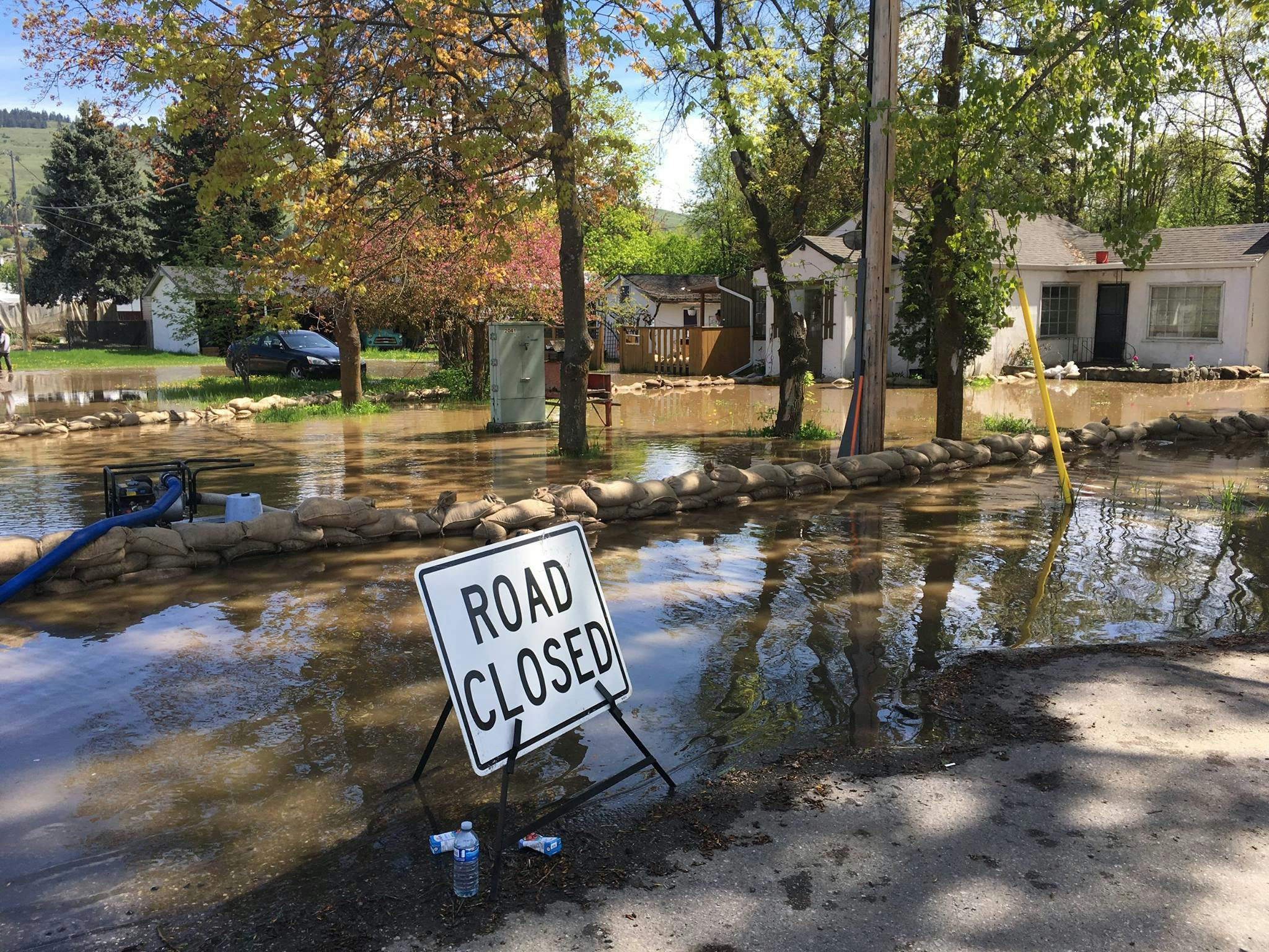
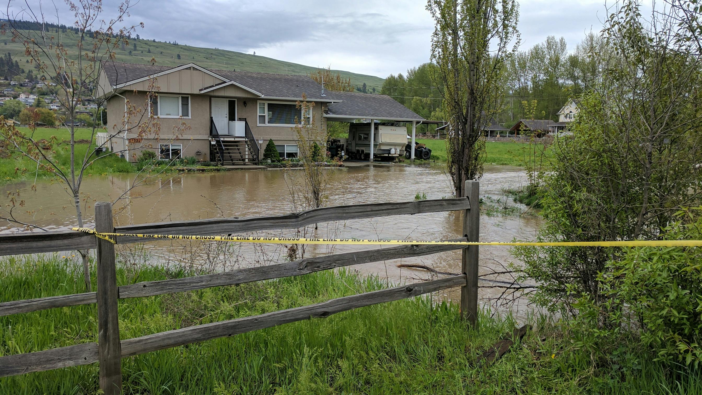
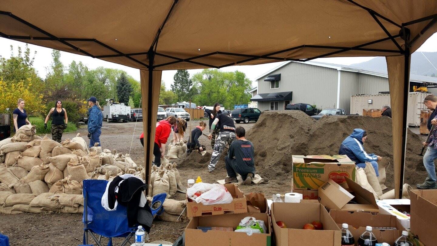
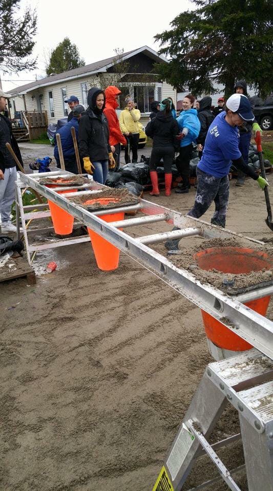
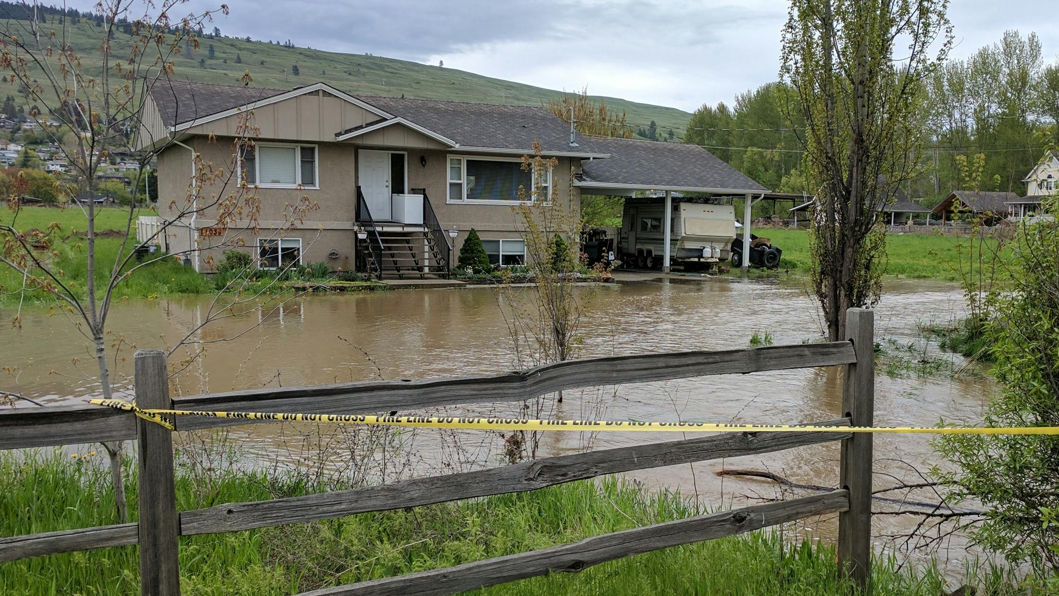
In recent years, the District of Lake Country has seen considerable flood damage from Middle Vernon Creek (MVC) due to rainfall, snowmelt and freshet which has overwhelmed culverts, channels and bridges. Remember the flooding of 2017 and 2018?
Middle Vernon Creek runs through the District and flows into Wood Lake from Duck Lake, picking up several smaller streams along the way. The creek remains extremely vulnerable and susceptible to erosion, debris blockage and flooding to private and public property. 
As part of ongoing flood mitigation efforts, the District is undertaking a Flood Hazard Risk Assessment, which has been funded through the province’s Community Emergency Preparedness Fund. This study will help the District better understand the risk of flooding along the Middle Vernon Creek corridor, which runs between Wood and Ellison Lakes.
Modelling A 200-Year Flood
A better understanding of flood risks will help the District plan for and mitigate future flooding events.
This study will model the impacts of an extreme flooding scenario, called a 200-year flood. A 200-year flooding event has a 0.5% probability of occurring in any given year. While this scenario is rare, it’s important to plan for it so the District can prepare the impacted areas through building bylaws, subdivision approvals and local government planning and regulations.
Share Your Flood Observations & Stories
Have you experienced flooding along the Middle Vernon Creek Corridor? Do you have a flood observation or story that you would like to share?
To gain insight into how flooding has impacted properties along the Middle Vernon Creek corridor, the District is looking to collect your Middle Vernon Creek flood observations, hear your flood stories and view your flood photos. Your experiences are important in understanding current and future flood risks.
How to Engage
Open Until September 16, 2022
Your flood stories or observations in and around Middle Vernon Creek can help the project team understand flood risks within the area. There are three ways to participate:
- Submit an MVC Flood Observation – Did you notice damaged property? Erosion? Breached Creek? Where did this occur? Leave your flood observation here.
- Upload an MVC Flood Photo – Do you have photos that you’d be willing to share to help us visualize during and after a flooding event? Upload your flood photos here.
- Write an MVC Flood Story – Do you have more to say and want to share a story about your experience? Leave your flood story here.

-
Public Works Manager
Email [email protected] -
Communications Officer

Email [email protected]